


Marine Charts (USA) Online app for iPhone and iPad
4.9 (
1849 ratings )
Travel
Navigation
Developer: VIDUR
2.99 USD
Current version: 1.0, last update: 7 years agoFirst release : 19 Jun 2016
App size: 33.04 Mb
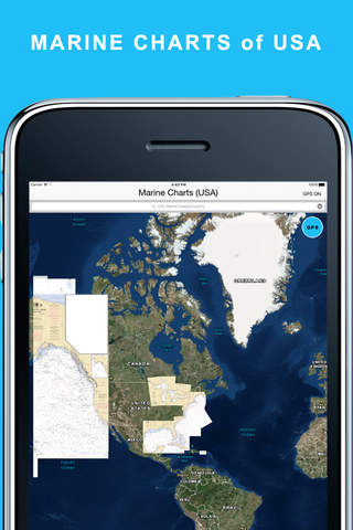
Marine Charts (USA) app display the NOAA Rasters for USA Region
The charts provide a consistent view of the marine environment
App lets users see charts without having to download and integrate multiple charts for their area of interest.
Features:
- View Rasters covering the entire USA
- swipe and pinch on the map to zoom in and pan around
- precise zoom buttons
- Find your current location
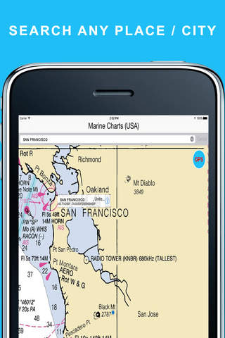
- search for cities and locations
- User friendly interface
- Universal app
- No ads
Disclaimer:
- Not to be used for navigation
- Continuous use of GPS will drain the battery life drastically.
- The maps may contain errors or may be incomplete. You use the maps on your own risk.